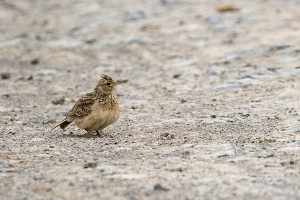
In the model region of ECO²SCAPE, bird mapping was carried out by professional ornithologists on three dates. The two ornithologists covered a distance of 60 km during each mapping and recorded the occurrence of birds in the agricultural landscape based on bird calls and bird observations. The data are currently being analyzed to better understand the habitat preferences of birds in the agricultural landscape. In addition, the dataset is being used to validate an automated audio monitoring system of birds.